Slide Background
13th IGRSM International Conference and Exhibition
on Geospatial & Remote Sensing (IGRSM 2026)
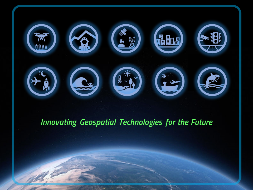
Theme: Geospatial Intelligence for a Sustainable Future
Date: 05-06 August 2026

Venue: Berjaya Time Square, Kuala Lumpur, Malaysia
previous arrow
next arrow
Days
Hours
Minutes
Seconds

Scopus-Indexed Publications

Selected papers will be published in the Scopus-indexed publications of Universiti Putra Malaysia as the Proceedings of the 13th IGRSM Conference 2026.

IGRSM Facebook

IGRSM YouTube

Welcome to
13th IGRSM Conference 2026

We are pleased to warmly welcome all distinguished guests, keynote speakers, paper presenters, delegates, sponsors, and supporters to the 13th IGRSM International Conference and Exhibition on Geospatial & Remote Sensing (IGRSM 2026), which is jointly organized by the Institution of Geospatial and Remote Sensing Malaysia (IGRSM) and its partners and will be held on August 5th and 6th 2026.

We will have a diversity of presenters and audience from the government and private sectors, as well as from academia and research centers, who are here to disseminate knowledge and to share their expertise and experiences in the present and future applications and development of remote sensing, geographical information systems (GIS), global navigation satellite systems (GNSS) and related fields of applications.

We are optimistic you will have a truly fruitful outcome from this conference and we look forward to welcoming you and your colleagues.

13th IGRSM Conference 2026

05-06 AUGUST 2026
Berjaya Times Square Hotel, Kuala Lumpur, Malaysia
"Geospatial Intelligence for a Sustainable Future"

President's Message
YBhg. Prof. Gs. Dr. Abdul Rashid Mohamed Shariff President Institution of Geospatial and Remote Sensing Malaysia (IGRSM)

Message from the President of The Institution of Geospatial and Remote Sensing Malaysia(IGRSM)

I am pleased to warmly welcome all distinguished guests, keynote speakers, paper presenters, delegates, sponsors and supporters to the 13th IGRSM International Conference and Exhibition on Geospatial & Remote Sensing (IGRSM 2026).

Our presenters and audience are both from the government and private sectors who are here to disseminate knowledge and to share their expertise and experiences in the present and future applications and development of remote sensing, geographical information systems (GIS) and global navigation satellite systems (GNSS).
YAB Dato' Sri Haji Fadillah bin Haji Yusof, Honorable Deputy Prime Minister and Minister of Energy Transition and Water Transformation ​

Chief Guest

YAB Dato' Sri Haji Fadillah bin Haji Yusof

Honorable Deputy Prime Minister if Malaysia
and
Minister of Energy Transition and Water Transformation of Malaysia

YAB Dato’ Sri Haji Fadillah is the current Deputy Prime Minister and Minister of Energy Transition and Water Transformation of Malaysia. He is a member of Parti Pesaka Bumiputera Bersatu (PBB) where he has served as Senior Vice President since 2017. Trained in law, he is the first Sarawakian Deputy Prime Minister and had previously served as Minister of Plantation and Commodities, Minister of Works and Deputy Minister for Science, Technology and Innovation.

Keynote Speakers

Professor, Dr. Wataru Takeuchi, University of Tokyo, Japan

Title: Satellite Intelligence for Infrastructure Resilience: From InSAR Innovation to a Malaysian Ground Motion Service.

Abstract:
Climate change and the resulting extreme weather patterns pose an unprecedented threat to the structural integrity of national infrastructure. In Malaysia, the maintenance of extensive highway networks like the North-South Expressway (PLUS) is challenged by soil instability and high precipitation. Traditional monitoring methods, while reliable, are often reactive and labor-intensive, highlighting the urgent need for a proactive, wide-area surveillance solution.

This presentation discusses the evolution of Interferometric Synthetic Aperture Radar (InSAR) from a complex remote sensing tool into a scalable intelligence service. By showcasing successful implementation cases from Japan and South Korea, we demonstrate how Multi-temporal InSAR (MT-InSAR) has been integrated into national asset management strategies. The role of the Japan-Global Mapping System (J-GMS) at the University of Tokyo as a high-performance backend is highlighted, illustrating its capability to process massive satellite datasets for millimetric displacement detection.

Moving beyond international examples, this talk proposes the framework for a “Malaysian Ground Motion Service” (M-GMS). This localized service aims to integrate global satellite observations with
Malaysia-specific environmental parameters and geological contexts. By bridging the gap between advanced Japanese/Korean InSAR innovation and
local operational needs, M-GMS envisions a continuous, satellite-based “health check” for Malaysia’s critical infrastructure.

The transition to a satellite-driven monitoring paradigm is no longer a luxury but a necessity for infrastructure resilience. The presentation calls for a collaborative geospatial future, where the fusion of international technical expertise and local engineering knowledge empowers Malaysian authorities to mitigate risks and optimize maintenance for a safer, smarter highway network.

Berjaya Times Square Hotel

Kuala Lumpur, 1 Jalan Imbi, 55100 Kuala Lumpur, Malaysia

Conference Venue

Berjaya Times Square Hotel

Kuala Lumpur, 1 Jalan Imbi, 55100 Kuala Lumpur, Malaysia

Conference Venue

Important Date

Topic
Date
Abstract Submission Opens
1 January 2026
Abstract Submission Deadline
31 March 2026
Abstract Acceptance Notification
15 April 2026
Full Paper Submission Opens
20 April 2026
Full Paper Submission Deadline
15th May 2026
Final Paper Acceptance Notification
15 June 2026
Early Bird Registration
1st January–30th June 2026
Camera-Ready Paper Deadline
30 July 2026
Regular Registration Opens
1st July 2026
Conference Dates
05–06 August 2026

ORGANISED BY

Event Countdown

05–06 August 2026

Days
Hours
Minutes
Seconds